
鬼島? 帶你親自發現日本島上的衛星照鬼圖
晚上在查一些地理資料,於是用google map在查看地形,結果發現很詭異的地貌...為了呈現與比對給網友,大半夜的還得翻查真真假假的靈異照片數百張,好毛啊....
不多說,進入正題
附上簡略英文給不懂中文的人
google map 2013 version
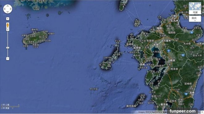
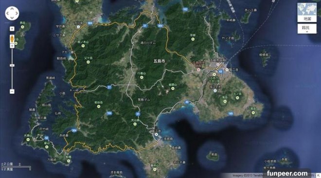
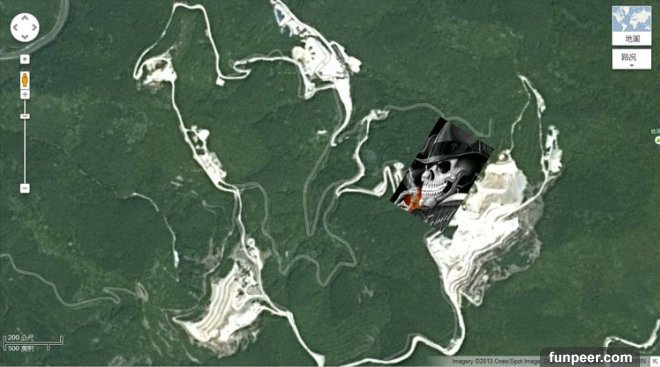
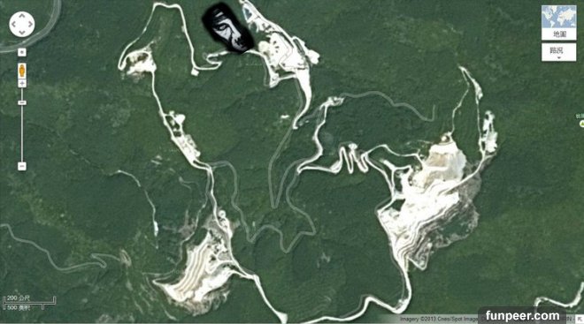
地點: 日本,五島市 ,即在二戰期間被投下原子彈的 長崎 正西方約100km處
(location : Goto,Japan。somewhere 100km west away from Nagasaki, where was nuclear bombarded at WW2)
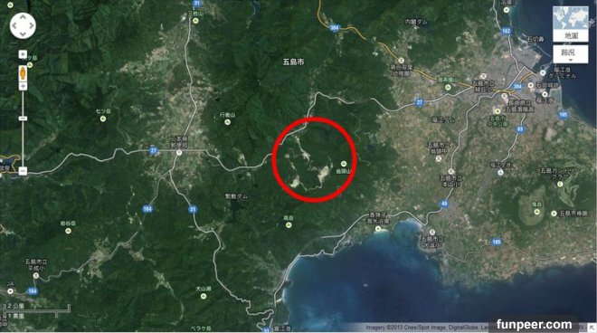
在 翁頭山 西方,推測為冰凍的河川地形
(they should be frozen rivers among the mountains)
發現什麼了嗎?
(do you find something?)
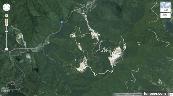
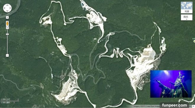
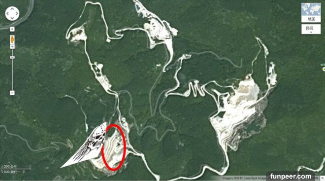
看!
(see?)

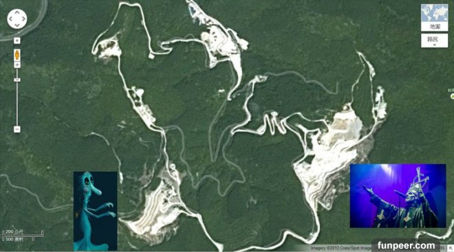
附上動圖,歡迎自行跟隨查證google地圖,開啟略慢,請耐心等候
(please check it out by yourselves on google map. here is a gif file shows where they are.)
[圖擷取自網路,如有疑問請私訊]
|
本篇 |
不想錯過? 請追蹤FB專頁! |
| 喜歡這篇嗎?快分享吧! |


相關文章


驚驚驚...驚悚樂園